Surface deformations associated to Kaliningrad earthquake ?
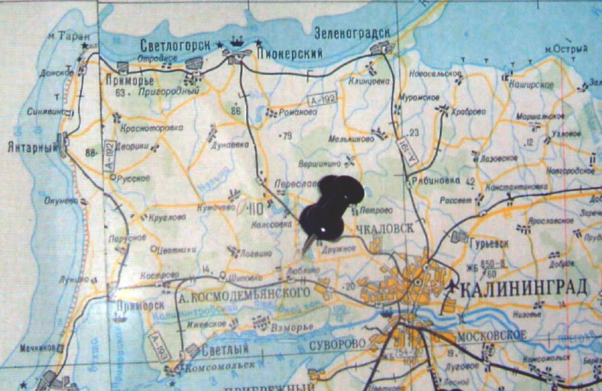
Macroseismic effects of the Sep.21,2004 Kaliningrad quakes at community of
Lyublino, c.a.20 km WNW of Kaliningrad see location map below).
Photographs
by prof. Grigory Koff, Geological Institute Russian Academy of Sciences
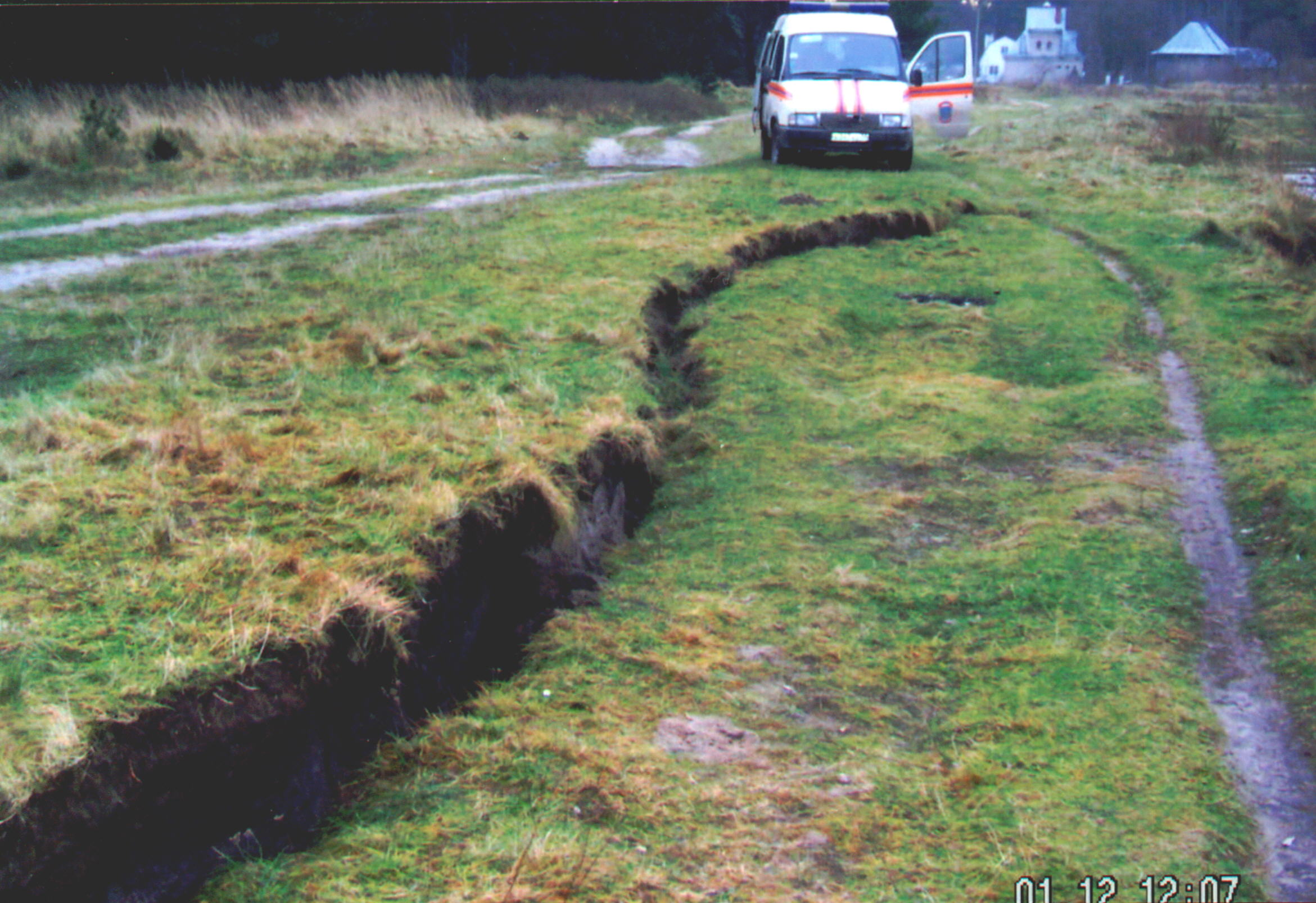
"The longest fault shown on the photo runs NW-SE and is about 120 m long.
There is also another fault running NE-SW that seems to cross the first
fault at its NW end. This other fault appears for about 40 m. Near the SE
end of the first fault there is still another crossing fault of unprecised
length because it appears only in form of gaps (crevaces) in the ground up to 2 cm wide.
These gaps have lengths of the order of a meter or so and appear here and there with uncrevaced ground
in between."
Faulting at Lyublino, Kaliningrad Oblast.
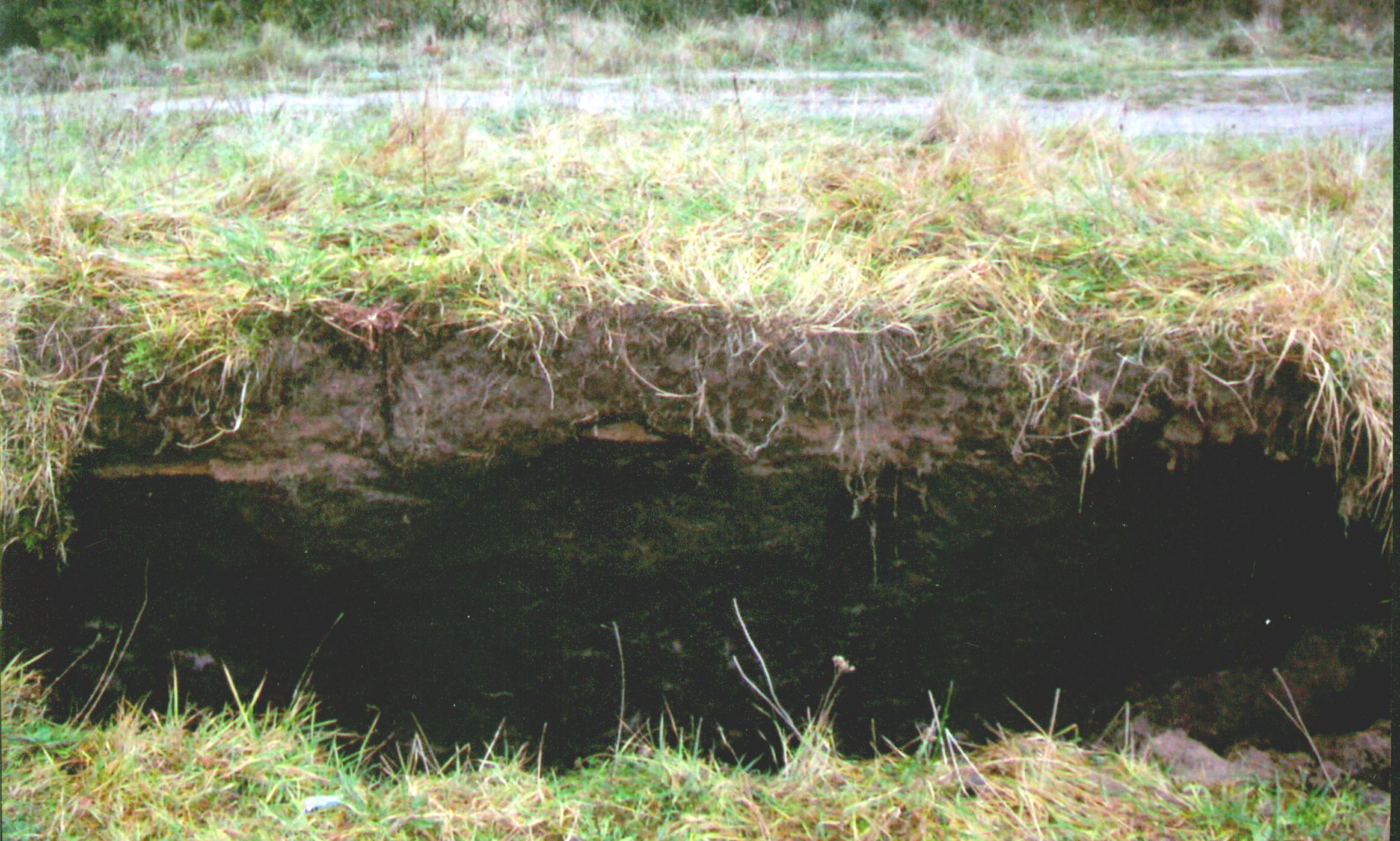
Faulting at Lyublino, Kaliningrad Oblast.
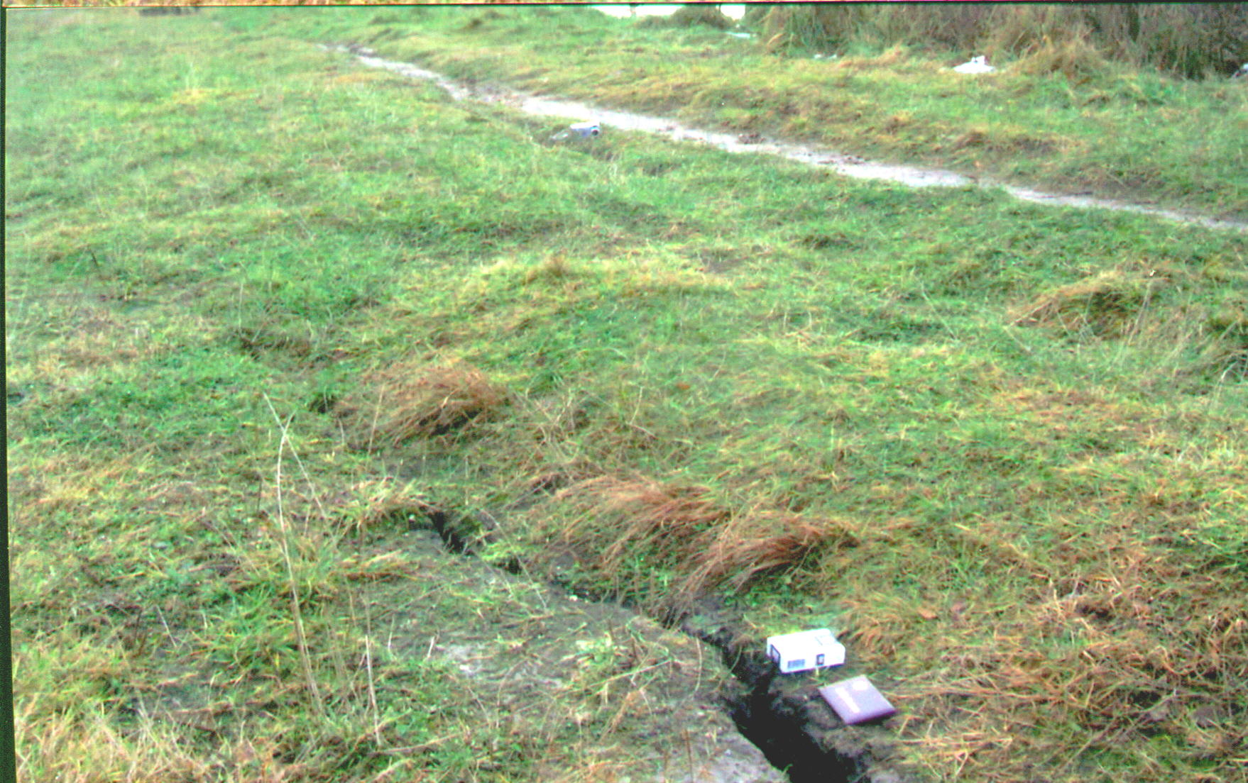
A crevace on the fault perpendicular to the main one

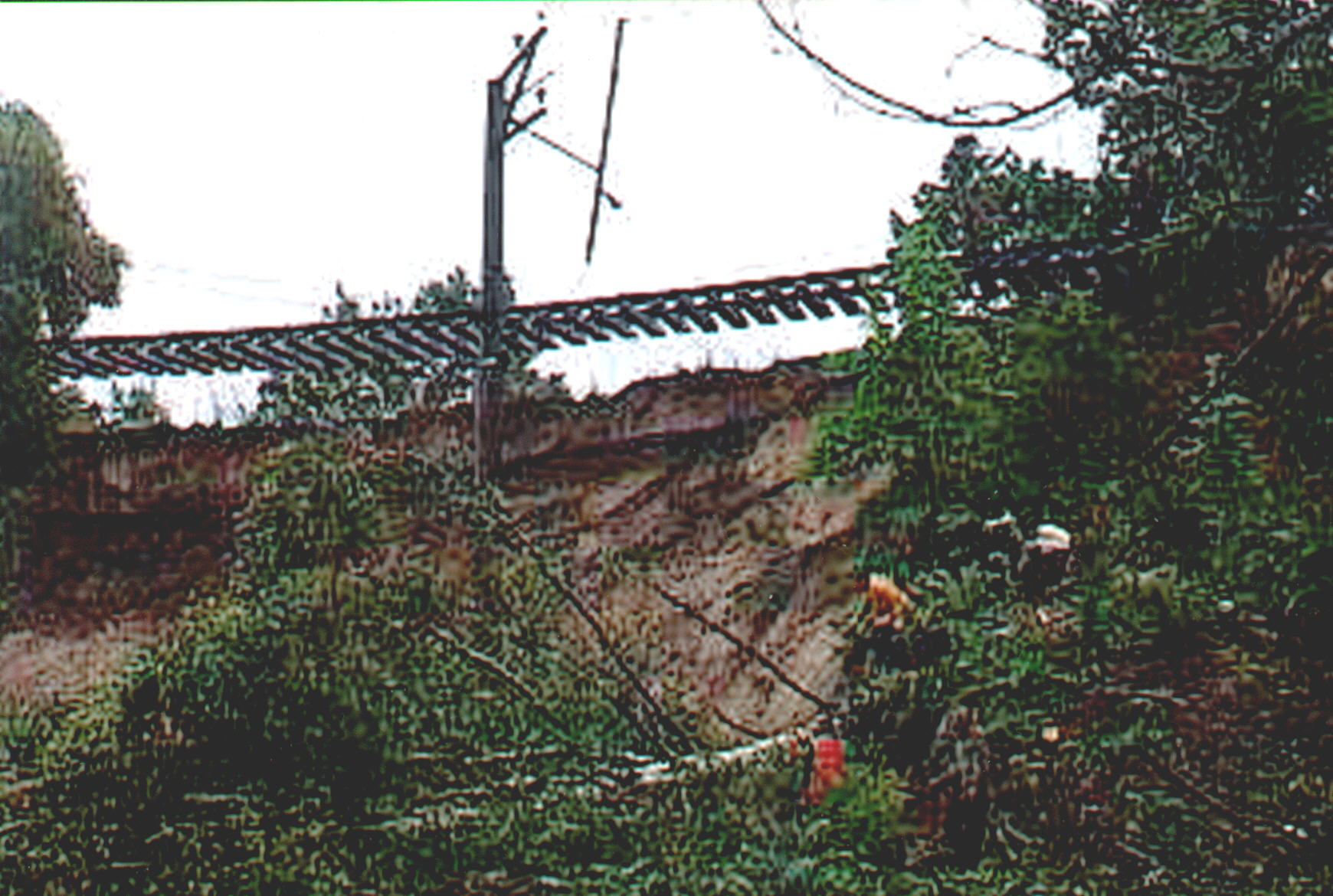
Most likely effects of liquefaction:
Damage to railway line Kaliningrad-Svetlogorsk, near Lyublino.
|